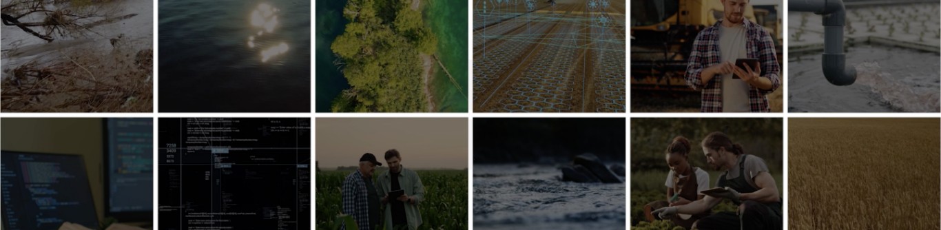
Using AI to Revolutionize Sustainable Farming – GEMS Informatics and Water Quality Management
Fertilizers are essential for boosting crop yields and increasing farm productivity. However, excessive use of fertilizers not only incurs high costs for farmers but also leads to harmful runoff that pollutes waterways. To address these challenges, GEMS Informatics is collaborating with the Minnesota Department of Agriculture’s Water Quality Certification Program and colleagues from the University of Minnesota. Together, they are leveraging AI and data science, in combination with ground-truth and remote-sensed data, to inform farmers of best management practices and track the water quality outcomes of those practices at scale.
The Problem with Over-Fertilization
While fertilizers play a crucial role in modern farming, their overuse can be detrimental. Excess fertilizers often wash into nearby water bodies, causing environmental pollution and financial waste for farmers. The key to effective fertilizer management lies in precise measurement and informed decision-making.
Harnessing Data for Sustainable Practices
Brad Jordahl Redlin, Water Quality Certification Program Manager at the Minnesota Department of Agriculture, emphasizes the importance of GEMS Informatics' work: “GEMS is building the analytical backend, linking farmer fields to watersheds and monitoring ongoing water quality. This will enable us to measure the positive effects of our certification program.”
Kevin Silverstein, Operations Manager at GEMS Informatics, adds: “We use satellite imagery to support government policy. Partnering with the Department of Agriculture, we train machine learning programs to recognize sustainable practices like strip-till or no-till farming, and cover crops and buffer strips that prevent water runoff. We can then correlate these practices with their impact on water quality and provide recommendations to the certification program.”
Advanced Monitoring with Satellite Technology
In collaboration with CFANS colleague and remote sensing water quality expert Leif Olmanson, GEMS Informatics employs satellite technology and supercomputers to monitor water quality. Monthly averages of satellite signals provide comprehensive measurements across Minnesota’s lakes, even those seldom exposed to direct sunlight.
Machine learning algorithms developed by GEMS require regular, unobstructed satellite signals. To ensure accuracy, GEMS imputes missing data using adjacent pixels in time and space. This approach turns vast amounts of data into actionable insights, empowering policymakers and farmers while safeguarding privacy.
Jim Wilgenbusch, Director of Research Computing at the University of Minnesota, praises GEMS Informatics' innovative approach: “It’s extremely exciting that they push at the boundaries of what researchers traditionally considered possible. GEMS sits at the intersection of a database where you store, catalog, and organize information, and modeling that information on a massive scale. It has huge potential to support researchers in their work at the cutting edge.”
A Collaborative Effort
GEMS Informatics integrates efforts from various University of Minnesota schools and institutions, including U-Spatial, Research Computing, the Data Science Initiative, the Minnesota Supercomputing Institute and the College of Food, Agricultural, and Natural Resource Sciences. Additionally, GEMS partners with state institutions like the Minnesota Department of Agriculture and multinational companies to drive data-driven innovation in the agri-food sector.
By combining AI, data science, and collaborative efforts, GEMS Informatics is paving the way for sustainable farming practices that benefit both the environment and the farming community.